

Text size:
Geography
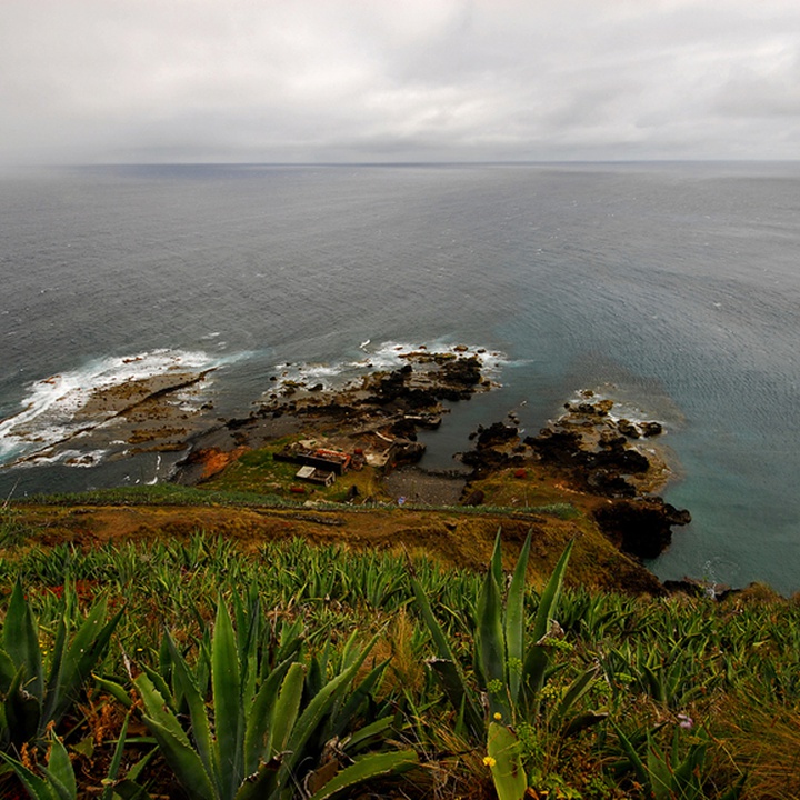

The island of Santa Maria, the southernmost and easternmost island in the Azores archipelago, is separated from São Miguel by approximately 80.6 kilometres (approximately 43.52 nautical miles). With an area of 97.1 km², its highest point is Pico Alto, which reaches 587 metres. The coastline stretches for 77.55 kilometres, while the longest diagonal measures approximately 15.5 kilometres.
Located at 36° 58' 14" N and 25° 6' 18" W, Vila do Porto is the only municipality on the island and includes the parishes of Vila do Porto, São Pedro, Almagreira, Santa Bárbara and Santo Espírito, with a resident population of around 5,400 inhabitants (2021 Census).
The climate is predominantly temperate, with average temperatures ranging from 11 °C in the coldest months, such as February, to 25 °C in the hottest periods, such as August. Relative humidity remains high throughout the year, generally between 70 % and 80 %, reflecting the strong maritime influence characteristic of the Azores islands.