

Text size:
Serra Devassa PRC05SMI
How to get there
Leaving from Ponta Delgada by the west side, along the highway, take the Regional Road towards Relva, and enter the first detour on your right towards Sete Cidades. You will pass by Lagoa do Carvão which is visible from the road on your left, and immediately the entrance giving access to the Lagoa das Empadadas. Continue along the Regional Road until you find signs indicating the Lagoa do Canário. There you will find a small square where you can park your car.
Recommended gear
Appropriate footwear for walking, waterproof jacket, hat, sunscreen and water.

This trail starts and ends near the Mata do Canário Forest Park.
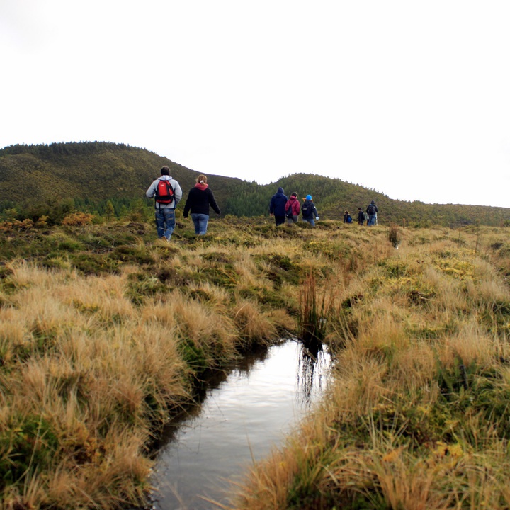
Goes through all the mountainous area southwest of the Caldeira do Vulcão das Sete Cidades, known as Serra Devassa, where you can observe a large number of lagoons, such as the Lagoas das Éguas Norte and Éguas Sul and also Lagoa Rasa.
Start the trail next to the Mata do Canário Forest Park, where is located the lagoon with the same name.
In the surrounding area of the Lagoa do Canário you can find some endemic plants of the Azores, such as Hypericum foliosum, Lactuca watsoniana, Leontodon rigens and Angelica lignescens. The trail is made by a dirt path that crosses the whole Serra Devassa, a mountainous area that develops southeast of Caldeira do Vulcão das Sete Cidades. In Serra Devassa, besides the Lagoa do Canário (lagoon), you can also see the Lagoa do Pau-Pique, flanked by the ruins of an ancient stone aqueduct, known as "Muro das Nove Janelas", the Lagoas das Éguas Norte and Éguas Sul and also the Lagoa Rasa.
Going around the Lagoa Rasa, you should continue the way back that will take you back to the Lagoa do Canário.