

Text size:
Ponta do Cintrão - Ponta da Maia
Protected Area of Resources Management


Gallery
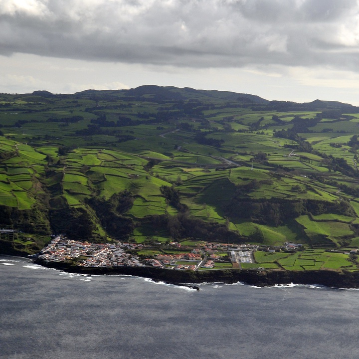
The coastline is indented by numerous bays, which are home to some sandy or pebble beaches, such as Santa Iria, Moinhos, and Maia, all very popular during bathing seasons. The coastline also has many promontories, such as Ponta do Cintrão, Ponta Formosa, Ponta de São Brás and, Ponta da Maia.
It should be noted, in the Baía de Santa Iria (bay), the existence of the mineral water spring Ladeira Velha that flows at a temperature in the range of 30 °C and was widely used during the 19th and early 20th centuries in the treatment of rheumatism, leprosy and skin diseases.
On the coast of this area, you can see some interesting geological forms: columnar jointing, resulting from contractions that are generated within the flow during the cooling and solidification of the lava; submerged or semi-submerged sea caves, home to Moray Eel (Muraena augusti), Mediterranean Moray (Muraena Helena), among others; and in front of the lava delta of Maia, a set of small islets that act as natural barriers, providing protection against the strong waves that are felt frequently on the north coast of the island.
This protected area consists of rocky or sediment and mixed seabed and hosts a variety of fairly large bodies, such as various coloured algae, crustaceans, molluscs, fish and seabirds looking for protection and food.
It also includes the Integral Reserve Zone of Limpets Capture of Porto Formoso to Baía da Maia.