

Text size:
Lagoa do Congro
Protected Area for the Management of Habitats or Species

Gallery
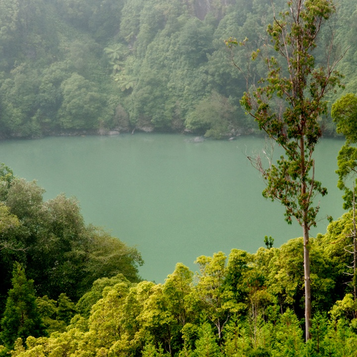
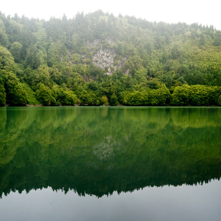
Lagoa do Congro (lake) occupies the base of an explosion crater of maar type, with 500 metres of diameter, steep walls emplaced in basalts and trachytes and a maximum elevation difference of approximately 120 metres. This crater, formed at about 3.800 years ago, is associated with a hydromagmatic eruption, where occurred the interaction of ascending magma with surface water or with groundwater/aquifer present at the overlying formations. Inside this maar is also the Lagoa dos Nenúfares (lake), thus known because a large part of its extension is covered by the species Nymphaea alba.
The name “Congro” is associated with the nickname of André Gonçalves Sampaio, one of the first owners of this lake.
After the Lagoa do Congro’s adjacent lands were acquired by José do Canto, this landscape went through big changes, as it was created a gardened woodland and exotic species were introduced, such as the Japanese Cedar (Cryptomeria japonica), the Tasmanian Blue Gum (Eucalyptus globulus), the Ocotea foetens and the Camellia japonica.
Regarding bird species, stand out the Azorean Goldcrest (Regulus regulus azoricus), the Common Buzzard (Buteo buteo rothschildi), the Azores Grey Wagtail (Motacilla cinerea patriciae), the Common Chaffinch (Fringilla coelebs moreletti), and the Azores Wood Pigeon (Columba palumbus azorica). This place is also very important to several migratory birds that feed and rest here, highlighting the Grey Heron (Ardea cinerea). The Great Crested Newts (Triturus cristatus), present in the lake, although being an alien species, is protected by the Bern Convention.
The access to the lake can be done through a trail with about 700 metres.
This is a water mass protected by the Land Development and Watershed Plan and is classified as a geosite of the Azores UNESCO Global Geopark.