Text size:
Tronqueira e Planalto dos Graminhais
Protected Area for the Management of Habitats or Species
With 5373 hectares, this protected area is located at the eastern end of the island.
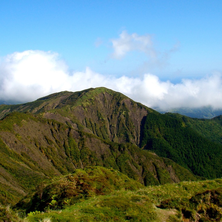
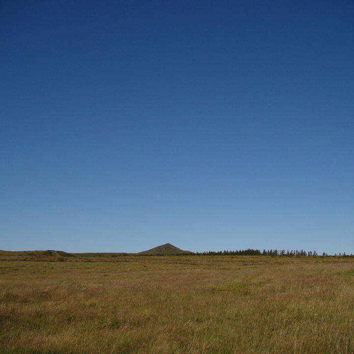
With a rough morphology, this zone comprises mainly geological formations of the Povoação Volcano and of the Nordeste Volcanic Complex, which include the oldest rocks of the island, with about four million years. Given the age of this part of the island, there are many deeply embedded fluvial valleys with perennial streams (e.g. Ribeira do Guilherme) or ephemeral streams locally designated as “grotas”. Planalto dos Graminhais, located between 900 and 960 metres of altitude, stands out on the north edge of the Povoação Volcano caldera.
In terms of habitats, stand out the presence of Laurel Forest in the area of Tronqueira and afforested peatlands in the area of Graminhais. Show up the Azorean Laurel (Laurus azorica), the Azorean Cherry (Prunus azorica), the Firetree (Morella faya), the Azorean Viburnum (Viburnum treleasei) and the Azorean Picconia (Picconia azorica). Because it presents particular soil conditions, the forested peatland has a different floristic composition, particularly regarding the Azorean Mountain Fescue (Festuca francoi), Azorean Stiff Grass (Holcus rigidus) and Sphagnum spp. The forested component is represented by Azorean Heather (Erica azorica), Azorean Blueberry (Vaccinium cylindraceum) and Short Leafed Juniper (Juniperus brevifolia).
Regarding the fauna, stands out the presence of the Azores Bullfinch (Pyrrhula murina), an endemic passerine of São Miguel island that saw its population reduced to about 100 couples on a distribution restricted to this area due to the drastic reduction of Laurel Forest, the attribution in the past of awards for its capture and the injury that they caused in the orange production. Currently, its population is estimated at 800 couples due to the positive results of two LIFE projects intended to restore the habitat.
At Pedreira place, it is possible to visit the Interpretation Centre of Priolo and get to know the natural values of this protected area, namely of fauna and flora.
This zone is crossed by the Algarvia – Pico da Vara walking trail (PRC07SMI) that gives access to Pico da Vara, where it is possible to have a panoramic view of this protected area.
This protected area includes the goals and boundaries defined by the Pico da Vara/Ribeira do Guilherme Special Protection Area under the Natura 2000 network and a geosite of the Azores UNESCO Global Geopark. This zone is classified as an Important Bird and Biodiversity Area (IBA), by the BirdLife International organization and forms an integral part of the CORINE Biotope project. Together with two other protected areas of Povoação and Nordeste councils, it was awarded the European Charter for Sustainable Tourism in Protected Areas by the EUROPARC Federation.


