

Text size:
Lagoa do Fogo
Nature Reserve

Gallery
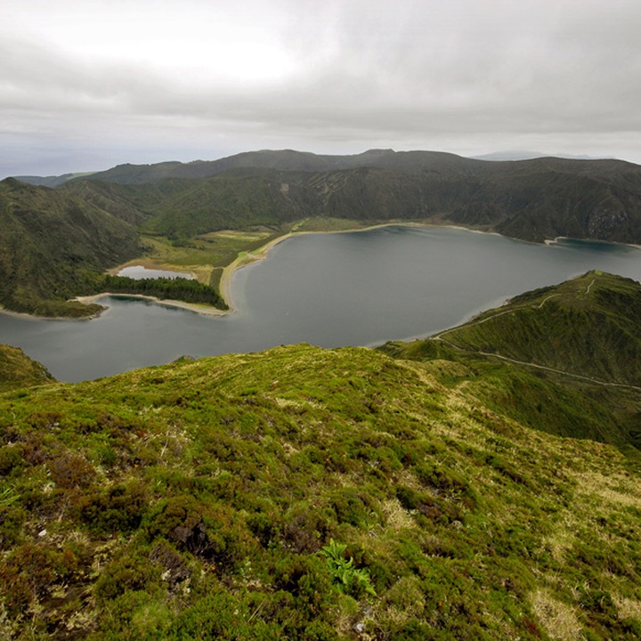
The Lagoa do Fogo Nature Reserve occupies a central position on São Miguel island, has an area of 506.82 hectares and corresponds to the collapse caldera of Fogo Volcano, also known as the Serra da Água de Pau Volcanic Massif.
Fogo Volcano is a central volcano of trachytic nature, formed over the last 300 thousand years and has a summit collapse caldera. Caldeira do Vulcão do Fogo – the smallest and youngest caldera of the island, formed about 15 thousand years ago – has an irregular shape, an average diameter of 2.8 kilometres and is partially occupied by the Lagoa do Fogo (lake).
Inside the caldera are about 40 water lines, 18 of which flow directly into the lake. The lake water feeds some springs in its tracks, and is important for the water supply of the counties of Vila Franca do Campo, Lagoa, Ribeira Grande and Ponta Delgada.
The inner edge of the caldera presents steep and jagged slopes covered in natural woodland with abundant and diverse endemic flora. Some of the endemic species are representatives of the ancient Laurel Forest, such as Azorean Blueberry (Vaccinium cylindraceum), Azorean Holly (Ilex azorica), Azorean Heather (Erica azorica), Azorean Laurel (Laurus azorica) and Azorean Viburnum (Viburnum treleasei).
Despite the remoteness of the sea, nests in this protected area a large colony of Yellow-legged Gulls (Larus michahellis atlantis) and Common Terns (Sterna hirundo).
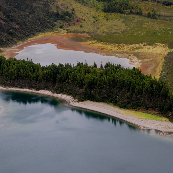
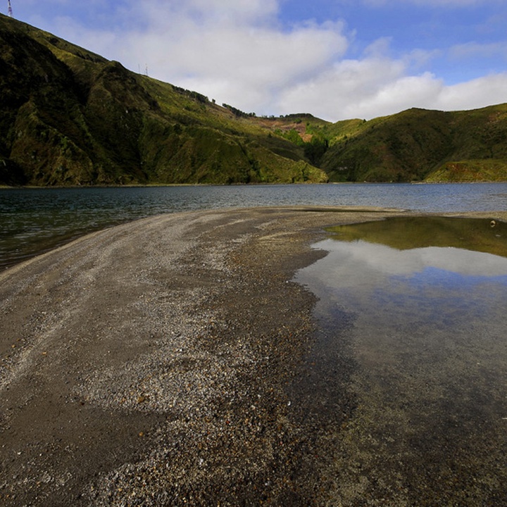
Besides visiting several viewpoints, one can access the lake margins through the Praia – Lagoa do Fogo (PRC02SMI) walking trail. The pumice beach on this lake margins was awarded the best wild beach of Portugal within the 7 Wonders – Beaches of Portugal contest.
Given the importance of its ecosystem and the presence of protected flora and endemic fauna, Lagoa do Fogo was classified as a Ramsar Site under the Ramsar Convention, and includes the Lagoa do Fogo Special Area of Conservation (SAC) under the Natura 2000 network and the CORINE Biotope environmental project. It is bordered by a Protected Area for the Management of Habitats or Species.
Lagoa do Fogo is classified as a protected water body in the “Instrumentos de Gestão Territorial” (territorial management tools) (IGT).