Text size:
Biscoito da Ferraria e Pico Alto
Nature Reserve


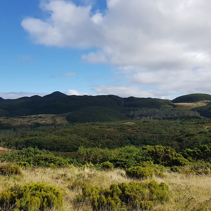
Located in the central-north region of the island, this area occupies about 709 hectares and has a maximum altitude of 809 metres.
Pico Alto is the most recent central volcano of the island, with about 100 thousand years. The walls of its collapse caldera are currently visible only in the Serra do Labaçal, Caldeira da Agualva and Rocha do Chambre because this depression is filled with a significant number of domes and very thick siliceous lava flows, named coulées. These domes and coulées, more than 50, are locally known as “biscoito” (biscuit) and define important tectonic alignments of the Pico Alto Volcano and of the island.
Regarding vegetation, predominate wet formations – forested peatbogs of Short Leafed Juniper (Juniperus brevifolia) and peatbogs of Sphagnum spp. – and the forest known as the Laurel Forest of the Azores, dominated by Azorean Laurel (Laurus azorica) and Azorean Holly (Ilex azorica). This forest has its origin in the rainforests that once covered southern Europe during the Tertiary and disappeared thousands of years ago during the last glaciations. Of the endemic flora, stand out the species Azorean Blueberry (Vaccinium cylindraceum) and Azorean Wild Lettuce (Lactuca watsoniana) and the native ferns Culcita macrocarpa, Hard Fern (Blechnum spicant) and European Chain Fern (Woodwardia radicans).
Regarding fauna, the resident birds are the most frequently observed, such as the Woodcock (Scolopax rusticola) and the Common Snipe (Gallinago gallinago), and endemic subspecies such as the Azores Blackbird (Turdus merula azorensis), the Eurasian Blackcap (Sylvia atricapilla atlantis) and the Goldcrest (Regulus regulus inermis). The bird of prey Common Buzzard (Buteo buteo rothschildi) is also easily observed in this area.
It is possible to explore part of this protected area through the Rocha do Chambre walking trail (PRC06TER).
This area is part of the Serra de Santa Bárbara e Pico Alto Special Area of Conservation (SAC) within the Natura 2000 network, a Ramsar Site under the Ramsar Convention and is classified as a geosite of the Azores UNESCO Global Geopark.

