

Text size:
Caminhos de Santa Luzia PR1PIC
How to get there
Go through the Regional Road towards São Roque county. Reaching Santa Luzia parish, at kilometre 10, you will find the beginning of the trail.
Recommended gear
Appropriate footwear for walking, waterproof jacket, hat, sunscreen and water.

Gallery
The trail begins in Santa Luzia parish near the Miraguaia and ends at the Church of Santa Luzia.
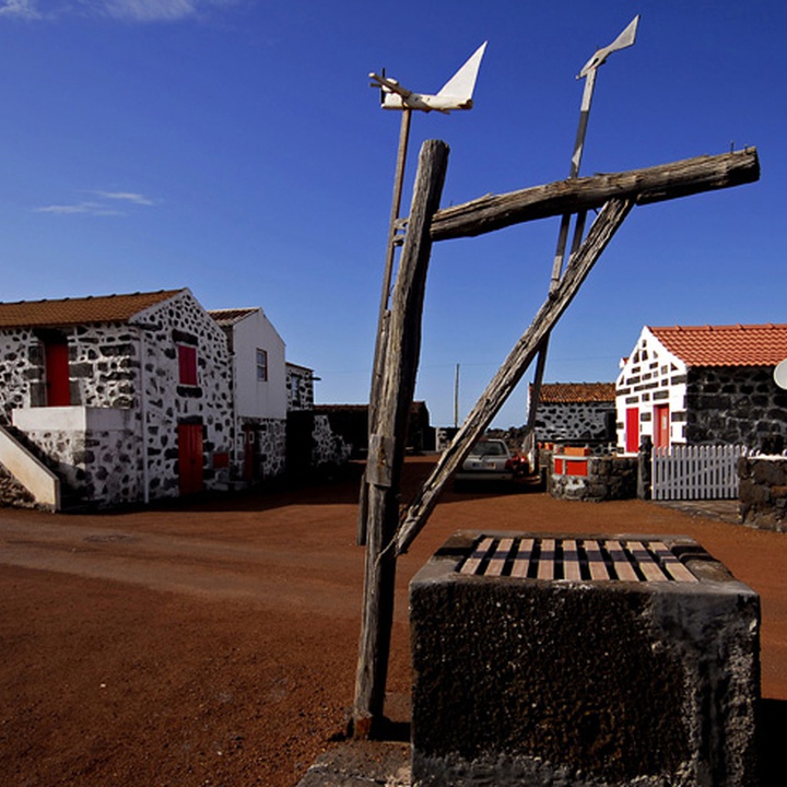
The “Caminhos de Santa Luzia” are ancient roads of our ancestors, which descend towards the sea through the Cultura da Vinha - Zona Norte Protected Landscape Area. It is also inserted the Pico Island Vineyard Culture Protected Landscape, classified as World Heritage by UNESCO, marked by reticulated walls of vineyards and fig trees.
Starting the trail near the Regional Road and after an asphalt section, follow a narrow and quite bumpy road that once served as access to vineyards and farmlands, bordered by stone walls with surrounding vegetation in almost its entire length. The trail continues in a wide path where there are typical wineries and summer houses, surrounded by vineyards, in the Cultura da Vinha Protected Landscape Area.
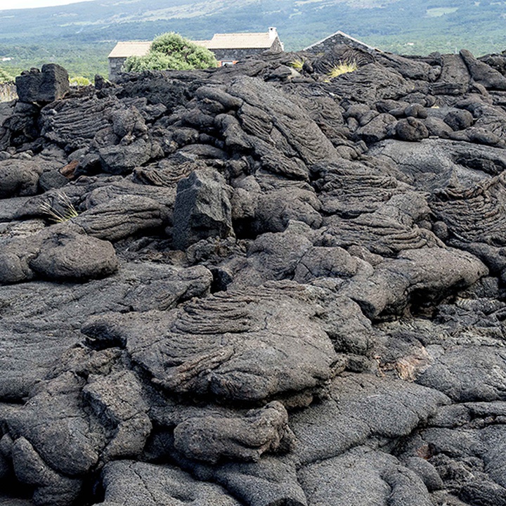
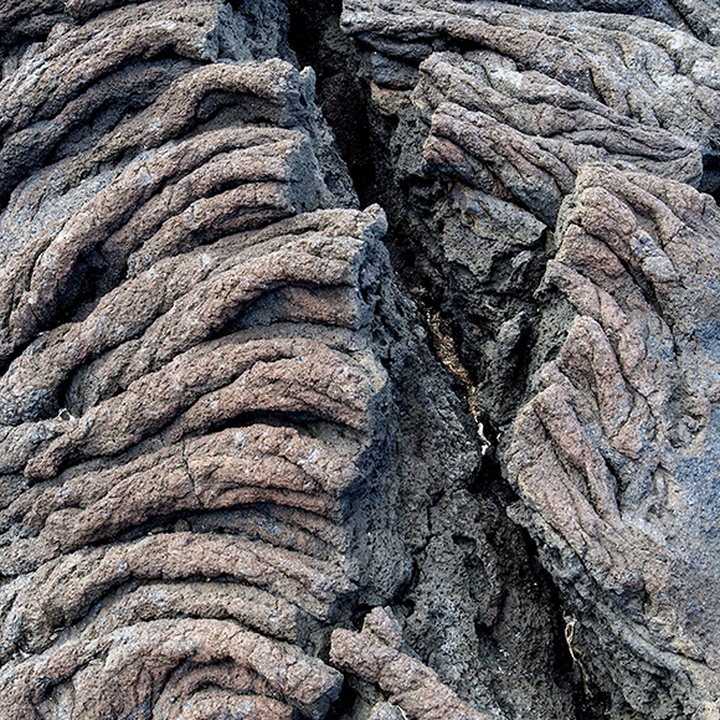
Following the defined path, it can be seen, in almost all of its extension, the “rilheiras”, ruts marked on the basalt, left by oxcarts, which transported wine. You can also see the ruins of the Forno dos Frades (oven), with its imposing stone chimney. Along the route, go through an almost always wide path originated in the 17th and 18th century, with its pavement in natural rock with small stone slabs, flanked by high walls of dry-stone masonry.
Passing by the Church of Santa Luzia, which initial construction dates back to the 18th century, continue by a dirt road that ends in an old road flanked by stone walls and dense vegetation, which brings you back to that church, where the trail ends.