

Text size:
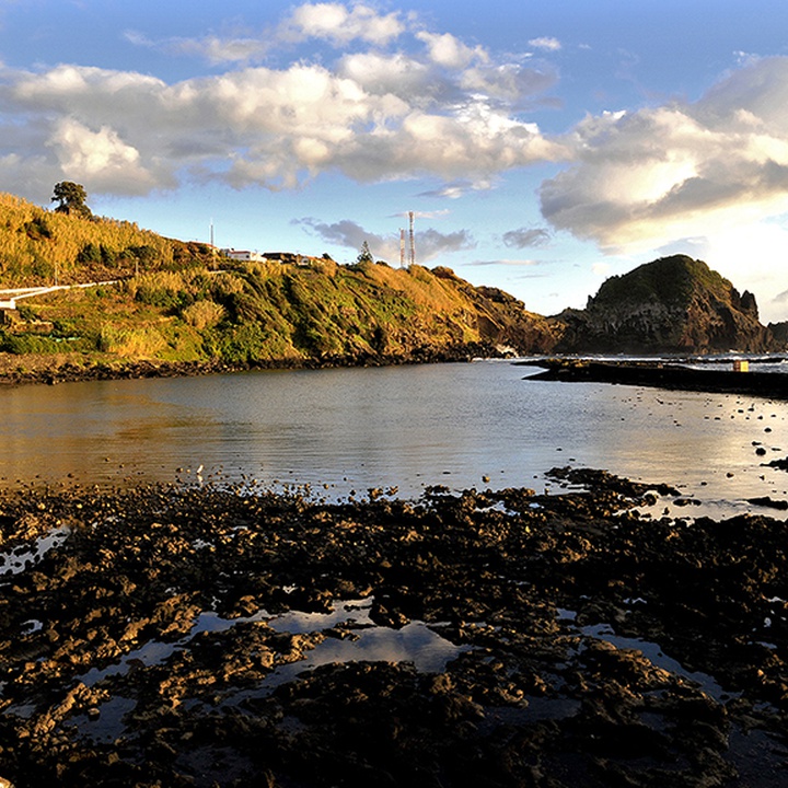
Porto das Lajes
Protected Area of Resources Management

Gallery
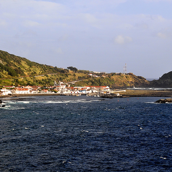
This protected area occupies 153 hectares and covers the surrounding shoreline of Lajes do Pico village, including its port.
The seabed is characterized by a rocky slab with a huge variety of geological formations. The surface relief is variable, showing, in some places, sand deposits. With increasing distance from the coast, rounded boulders with different dimensions and apparently stable appear on the slab. Near the southern tip of Castelete, there is a shoal of reduced depth that reaches 1 metre deep.
In this area, there is a wide variety and richness of fauna habitats and species, from which stand out the Cory’s Shearwater (Calonectris borealis), the Little Egret (Egretta garzetta), the Limosa lapponica and the Common Bottlenose Dolphin (Tursiops truncatus), and flora habitats with species such as Azorean Sandspurry (Spergularia azorica) and Juncus bulbosus.
This protected area is included in the Lajes do Pico Special Area of Conservation (SAC) within the Natura 2000 network.