Text size:
Monte da Guia
Protected Landscape Area
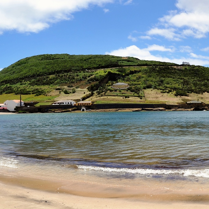
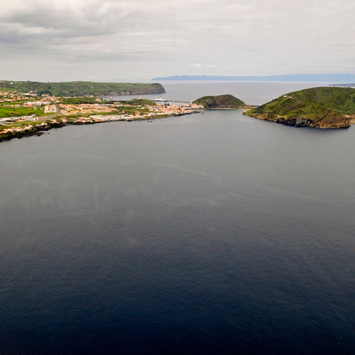
This protected area has approximately 74 hectares and is located southeast of Horta city.
It consists of two volcanic cones – Monte da Guia and Monte Queimado (hills) –, craters, slopes, sea-cliffs, bays, inlets, pebbles and sandy beaches, rocky reefs and sea caves.
On this site, human intervention is highly visible since the last century. However, it remains one of the sites of excellence of the Azores because it includes the priority habitat of grey dunes and endemic vegetation of high value.
It has a maximum altitude of 145 metres and is connected to the island by an isthmus with a dune system called Entre Montes. It has two attached craters open to the sea at the south – the Caldeirinhas – classified as a Nature Reserve and are maternity zones for fish species.
Monte Queimado is a basaltic scoria cone associated with a subaerial eruption of the strombolian type and has a maximum altitude of 81 metres. On the slopes of the cone, partially dismantled due to marine erosion, it is possible to observe the pyroclastic materials that built it (ash, lapilli and volcanic bombs) and basaltic dykes.
This area houses endemic species, such as the Azorean Heather (Erica azorica), the Azorean Coastal Spurge (Euphorbia azorica) and the Azorean Coastal Fescue (Festuca petraea), and native species, namely Firetree (Morella faya) and Sharp-pointed Rush (Juncus acutus). This location is also an ideal habitat for birds such as the Cory's Shearwater (Calonectris borealis), the Common Tern (Sterna hirundo) and the Grey Heron (Ardea cinerea).
Here it is possible to cross the Entre Montes walking trail (PRC08FAI) and visit the Dabney’s House, the Live Fish Station - Porto Pim Aquarium and the Porto Pim Whaling Station.
This area belongs to the Monte da Guia e Porto Pim geosite of the Azores UNESCO Global Geopark and integrates the Monte da Guia Special Protection Area (SPA) within the Natura 2000 network. Surrounding the Monte da Guia is the Canal Faial-Pico/Sector Faial Protected Area of Resources Management.


