

Text size:
Areia Branca PR6SMA
Recommended gear
Appropriate footwear for walking, waterproof jacket, hat, sunscreen and water.

This linear route connects Praia Formosa (south coast) to Baía de São Lourenço (northeast coast), making the connection between the two white sand beaches (limestone sand), unique in the Region.
Along this trail, you will cross classified areas such as the Pico Alto Protected Area for the Management of Habitats or Species and the Baía de São Lourenço Protected Landscape Area. The trail also passes through the geosites of Praia Formosa, Prainha and Baía de São Lourenço.
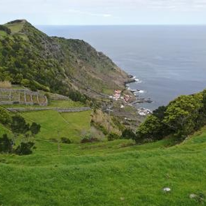
Begin the walk near the park of Praia Formosa beach and follow to the Fortress of São João Batista, also known as Castelo da Praia. The road continues into the interior of the island, passing by some houses in the Praia area and, afterwards, by a pedestrian road that leads to pastures and agricultural fields towards Pico Alto. In the area of Almagreira, the road passes through a wood composed mainly of Sweet Pittosporum (Pittosporum undulatum), with some endemic bushy vegetation such as Azorean Picconia (Picconia azorica) and Azorean Holly (Ilex azorica). Pass by a cave until you reach Pico Alto (intersection with PRC02SMA – Pico Alto), the highest point of Santa Maria and where you can stop to rest and enjoy the view over the rest of the island. Follow along a dirt road between woods and agricultural fields, passing by the centre of the village of Santa Bárbara. From here, the trail starts its descent towards Baía de São Lourenço, a natural amphitheatre surrounded by terraced vineyards, with the beach and natural swimming pools as a backdrop. Go down to the bay, the place where the trail ends and if the weather allows it, go swimming and refresh in the Atlantic waters.