

Text size:
Pico Alto PRC02SMA
How to get there
Leaving from the centre of Vila do Porto, take the Regional Road towards Santa Bárbara/Santo Espírito. After passing by Almagreira parish, follow the Regional Road, going up the Picos road. At the top of the climb, on your left is the forest road that accesses the Pico Alto, where you will find the panel of the beginning of the trail.
Recommended gear
Appropriate footwear for walking, waterproof jacket, hat, sunscreen and water

Gallery
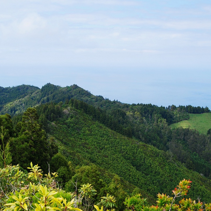
This short circular route, situated within the Pico Alto protected area, offers some of Santa Maria’s most iconic landscapes, passing through dense woodland, natural viewpoints and areas of high biodiversity.
The trail begins at the Pico Alto car park, from where you climb the steps next to the military building to the highest point on the island, at an altitude of 586 metres. From here, you can enjoy sweeping panoramic views over Santa Maria: to the west, the more arid landscapes with lower relief; to the east, the mountainous area, which is greener and more wooded.
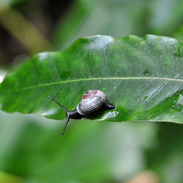
After returning to the starting point, the route follows a dirt track, heading north through a wooded area. Here, predominate large trees such as the Japanese Cedar (Cryptomeria japonica) and endemic shrubbery, such as Azorean Viburnum (Viburnum treleasei) and Azorean Blueberry (Vaccinium cylindraceum). Through the vegetation, views of the parish of Santa Bárbara emerge. In this area, it is common to spot various bird species, many of them endemic, including the Robin (Erithacus rubecula), the Azores Chaffinch (Fringilla moreletti), the Azores Blackbird (Turdus merula azorensis) and the Santa Maria Goldcrest (Regulus regulus sanctaemariae). This area is also rich in endemic arthropods and molluscs, underscoring Pico Alto's status as a biodiversity hotspot. The trail continues gently downhill to the turn-off for the Caldeira Viewpoint, one of the most impressive spots along the route, offering views over the island’s west coast. Returning to the main path, you pass the Casa do Guarda, the junction with the Grande Rota de Santa Maria (GR01 SMA), before heading south towards Alto Nascente. The final section of the trail follows an old path used during the area’s afforestation works. On this ascent, there are several vantage points over the surrounding landscape, and you pass the memorial to the victims of the 1989 air crash, the worst in Portuguese aviation history. The route ends once again at the Pico Alto car park, where there is a link to the PR06 SMA – Areia Branca trail, heading towards São Lourenço Bay.