

Text size:
Fajã de Lopo Vaz PRC04FLO
How to get there
From the Lajes das Flores City Hall, by the Regional Road 1-2, go on until the sign indicating the detour to Fajã de Lopo Vaz, between kilometres 18 and 19. After entering the detour, proceed until the viewpoint at the end of the dead-end road, where one can find the beginning of the trail sign.
Recommended gear
Appropriate footwear for walking, waterproof jacket, hat, sunscreen and water.

Gallery
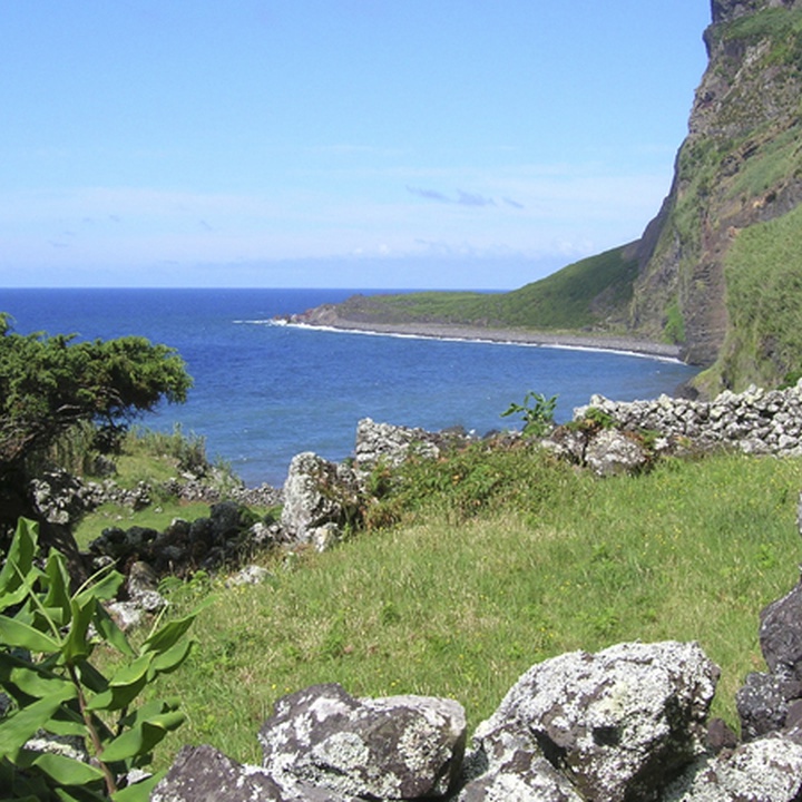
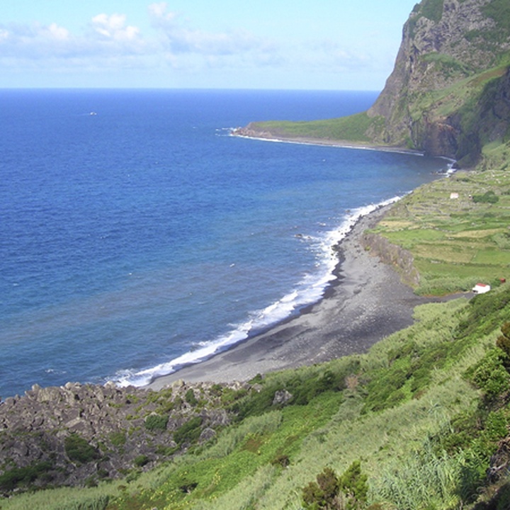
This trail begins and ends at the Fajã de Lopo Vaz Viewpoint, covering part of the Costa Sul e Sudeste Protected Area for the Management of Habitats or Species.
The Fajã de Lopo Vaz, probably one of the first places on the island to be inhabited, also integrates the Ponta da Rocha Alta e Fajã de Lopo Vaz geosite, constituted by two detritic platforms resulting from landslides from the adjacent high cliffs.
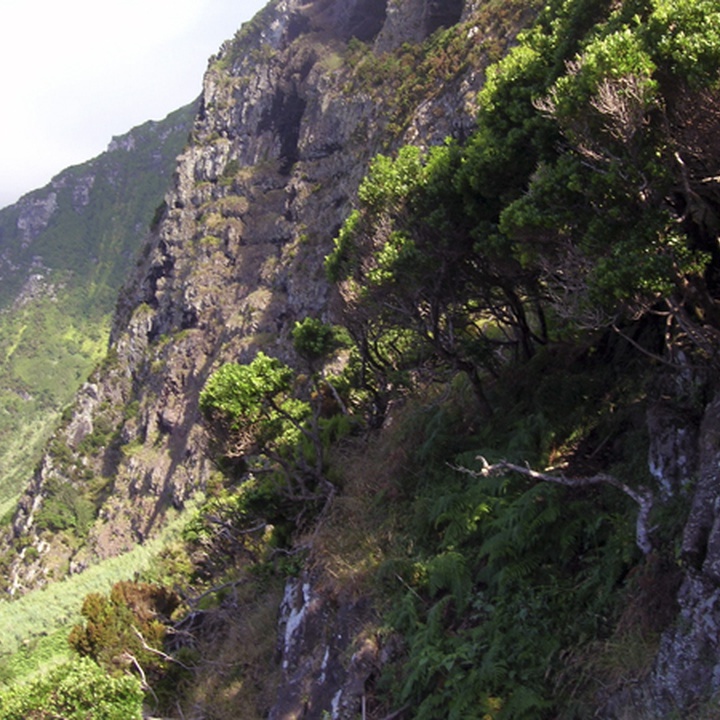
You can see, during the walk, small waterfalls, bird species of the Azores and beautiful examples of endemic flora, as well as some introduced species. A revealing aspect of anthropogenic action on this site is its microclimate, reputed as the hottest of Flores.
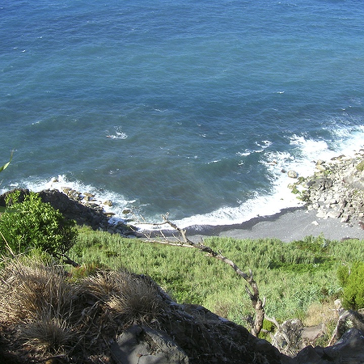
Begin the descent from the Fajã de Lopo Vaz Viewpoint along an alternating path of earth, cobblestone and stone steps, through endemic vegetation such as Erica azorica and Picconia azorica, and small water springs. After the first slope, there is a nook where water runs between specimens of Cryptomeria japonica and, a little further down, you can see the Ponta da Rocha Alta in front. At your right, sprout small waterfalls where blooms watercress (Nasturtium officinale). In the distance, you can observe the Fajã de Lopo Vaz.
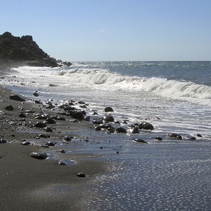
When you reach sea level, you will see the first house, a black sand beach, basalt pebbles and a water source. Take the opportunity to investigate this area and, weather permitting, go for a swim. Exploration of the fajã is left to the discretion of each hiker, being possible to circumvent the house on the right and continue along a stone path which gives access to various farmlands along the fajã.
Currently uninhabited, the fajã is used for birdwatching, the most common being the Turdus merula azorensis and the Fringilla coelebs moreletti. There are also various types of traditional crops that, due to the microclimate of this fajã reputed to be the hottest on the island, originate the largest bananas, figs, grapes and yellow strawberry guavas.
As the fajã has no exit, the return has to be done by the same path until reaching the starting point again.