

Text size:
News
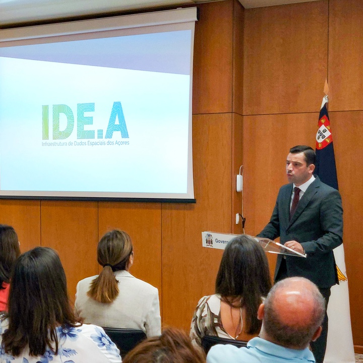
Regional Secretariat for the Environment and Climate Change presents the new Azores Spatial Data Infrastructure Portal (IDE.A)
Oct. 16, 2023
The Regional Secretary for the Environment and Climate Change, Alonso Miguel, presented today the new Azores Spatial Data Infrastructure Portal and the INSPIRE directive monitoring results for 2022.
Alonso Miguel said that “with the advent of the Geoinformation Age, key sectors for the development of societies, such as the environment, agriculture, fisheries, tourism, energy, transport or communications, face a common challenge: the intensive use of geographic information systems”.
“To overcome this challenge, solutions are needed to guarantee the sharing, access and universalisation of geographic data, which must be interoperable between the various departments of the public administration and, therefore, a spatial data infrastructure is needed to facilitate the exchange of information between organisations, guaranteeing high levels of interoperability and allowing data to be shared, accessed and exploited for the most diverse purposes, with significant levels of quality,” he said.
According to Alonso Miguel, the IDE.A Portal was created in 2012 to provide a reference spatial data infrastructure for the Autonomous Region of the Azores, which would guarantee and facilitate access to spatial data sets and services relating to the Azores, under the provisions established by the INSPIRE directive.
However, he explained that the former IDE.A Portal never achieved its main objective, “having always functioned only as an information portal, in addition to having been developed based on commercial technology, limiting its evolution and adaptation to current requirements.”
“The new IDE.A Portal, which we are presenting today, was developed on the basis of free software, at no cost to the user, in open source, that is, with open code, which can be reused, and there are no longer any costs associated with using GIS software, which is particularly important for the services of the regional public administration which, until now, depended on commercial GIS software,” explained Alonso Miguel.
He also pointed out that, “in addition to facilitating access to existing geographic data sets and services on the Azores, the new IDE.A portal will also provide the various entities of the regional public administration with the possibility of creating thematic geographic displays related to their areas of activity, something that is very important and that will overcome the limitations and constraints that these entities felt at this level, due to the lack of a technological solution in the domain of the Regional Government of the Azores that would respond to these needs”.
“At the moment, various geographical displays are available on the areas in which the Regional Secretariat for the Environment and Climate Change operates, specifically in terms of territorial management, water resources, land use, nature conservation and climate change,” he said.
Alonso Miguel highlighted, by way of example, the display for the LIFE IP AZORES NATURA project, which “allows information to be consulted on the Natura 2000 areas in the Azores, the species and habitats they harbour and the results of conservation and restoration work on the Azores' natural ecosystems”.
The new Azores Spatial Data Infrastructure represented an investment by the Regional Secretariat for the Environment and Climate Change of around 230,000 euros, co-financed by EU funds.
For Alonso Miguel, “this infrastructure will make a decisive contribution to promoting democratised and standardised access to information, and is fundamental for supporting informed decision-making in the different sectors.”
Concerning the results of monitoring the INSPIRE Directive, under which the Regional Secretariat for the Environment and Climate Change acts as an intermediary in the Region, Alonso Miguel highlighted “Portugal’s excellent performance within the European Community about the annual reporting of datasets and geographic data services, a performance that is strongly influenced by the excellent performance and contribution of the Autonomous Region of the Azores, which in 2022 was responsible for around 30 per cent of the Geographic Datasets and around 46 per cent of the Geographic Data Services reported at national level”.