

Text size:
News
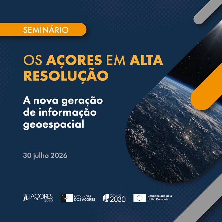
Seminar “The Azores in High Resolution – The new generation of geospatial information”
July 17, 2026
On 30 July, a seminar will be held in Ponta Delgada, on the island of São Miguel, to present the new generation of geographic data for the Azores, promoted by the Regional Government of the Azores, through the Regional Secretariat for the Environment and Climate Action.
This event, which will bring together several specialists, will showcase strategic advances in the cartographic modernisation of the Archipelago by combining high-resolution orthophotos with advanced LiDAR technology.
The pillar of territorial resilience
Considering the geographical location, hydrological, geological and geomorphological characteristics, and the Archipelago’s high exposure to extreme weather events, this high-precision data is fundamental for designing effective strategies to minimise natural risks and mitigate and adapt to the effects of climate change.
Areas of practical application:
- Spatial Planning: Rigorous planning and active landscape management;
- Coastal Dynamics and Hydrography: Monitoring cliff erosion and efficient management of waterways;
- Risk Prevention: Mitigation of uneven terrain and other geological risks;
- Environment: Protection of biodiversity and conservation of natural resources;
- Forest Resources: Planning, development and exploitation of forest areas;
- Innovation and Development: Support tool for civil engineering projects and cutting-edge scientific research.
Check the program at: https://bit.ly/4prnTAL
Limited registration until 23 July, via the form: https://shre.ink/jvVK